01
Observe
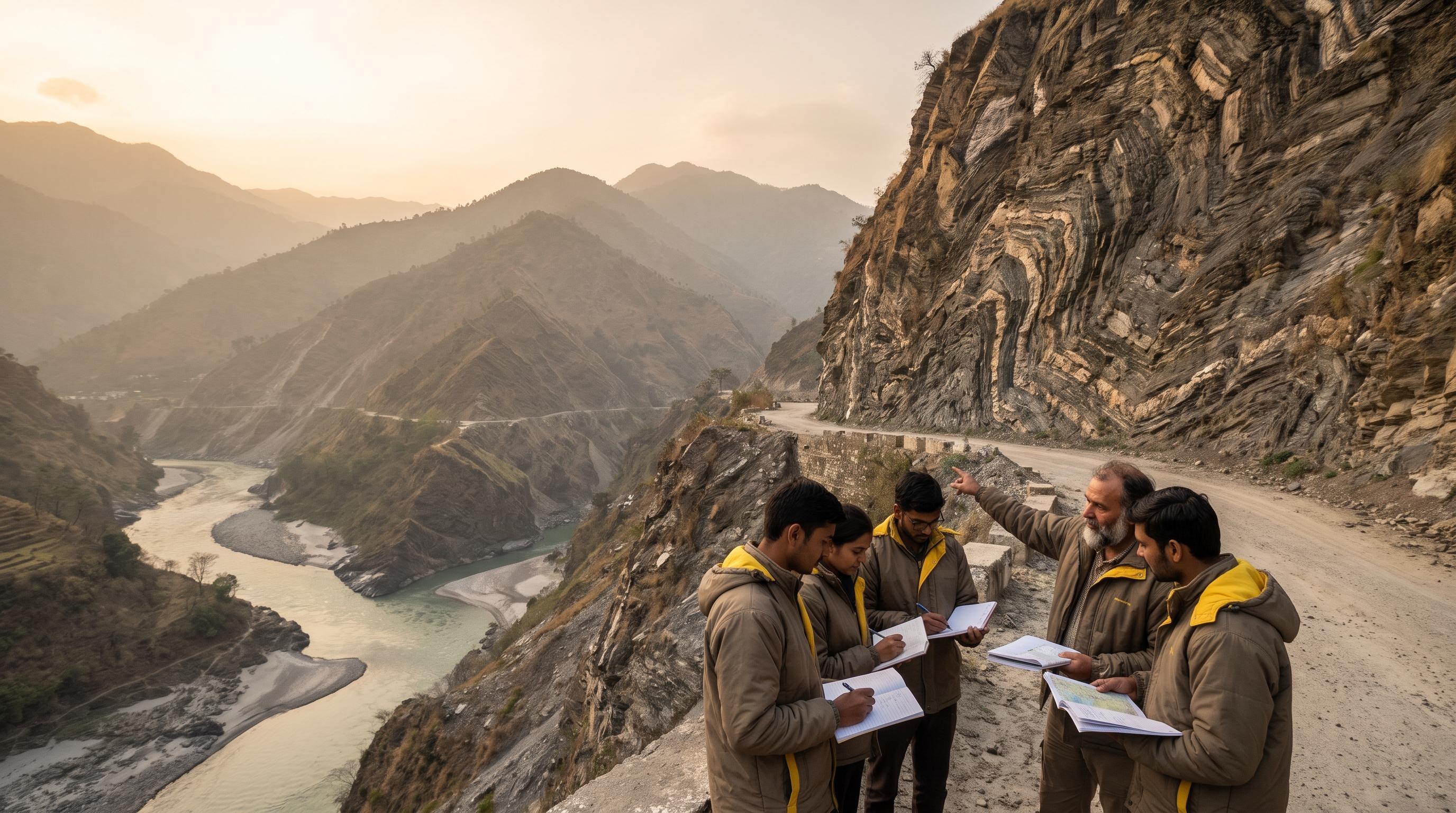
Study geological formations, river systems, rock exposures and landslide zones.
Himalayan Geology Expedition
Where Rivers Shape Mountains
Journey through the Panch Prayag and discover how rivers have sculpted the Himalayan landscape over millions of years. This immersive field expedition combines geology, hydrology, and landscape interpretation, offering students a unique opportunity to understand the dynamic relationship between water and mountains.
Duration
5 Days / 4 Nights
01
Study geological formations, river systems, rock exposures and landslide zones.
Learn how geological processes have shaped the landscape.
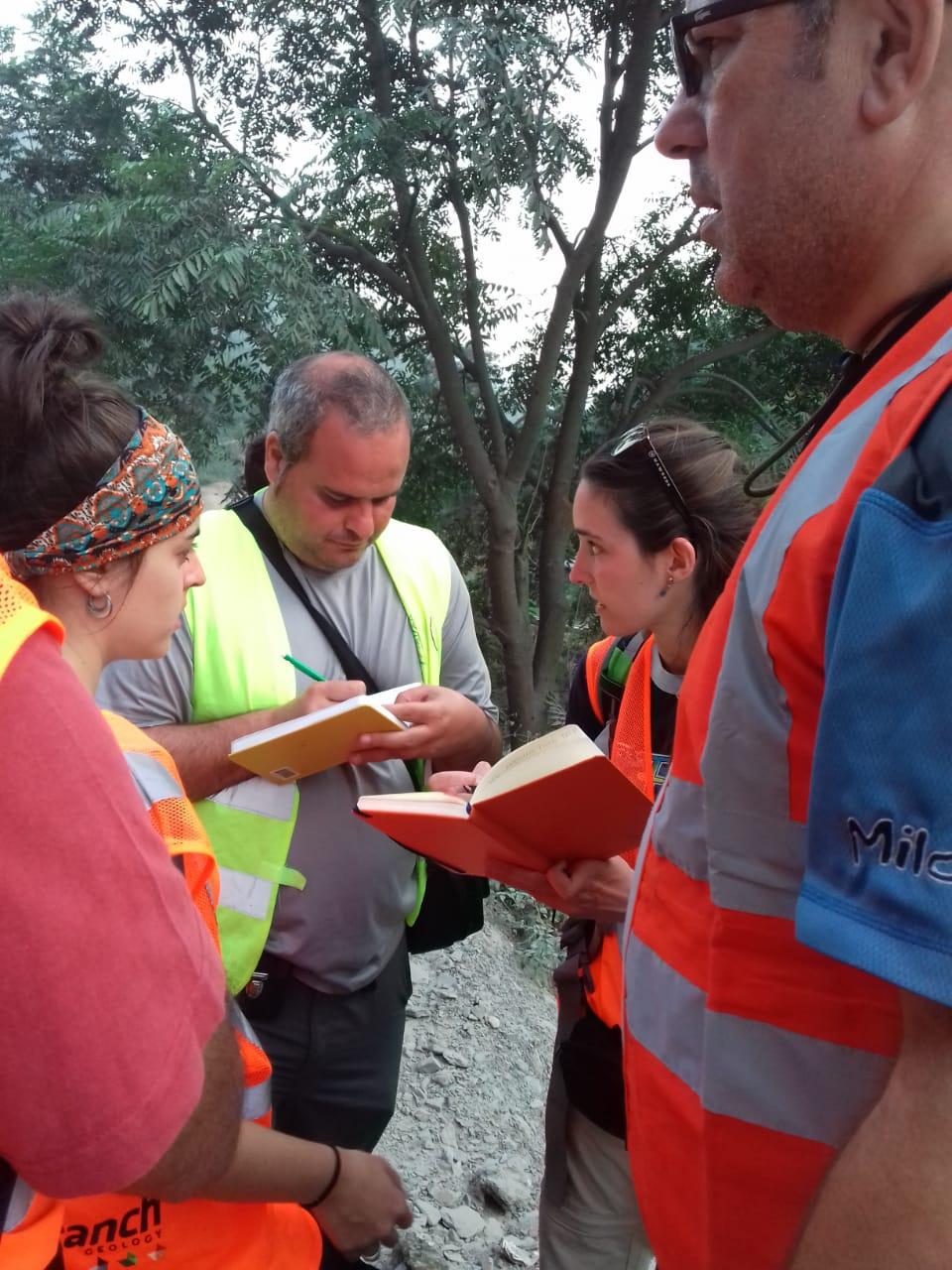
Create field notes, sketch maps and observations.
04
Learn directly through expert sessions and group interpretation.
Follow the geological journey of a river from mountain streams to the formation of the Ganga. Students witness how water becomes one of the most powerful geological forces on Earth.
A field-based geological expedition focused on understanding how rivers shape mountain landscapes.This journey follows the Alaknanda River system through the famous Panch Prayag (Five Confluences), allowing participants to study
01
Dehradun
02
Devprayag
03
Rudraprayag
04
Karnaprayag
05
Nandprayag
06
Vishnuprayag
07
Joshimath
08
Dehradun
Dehradun → Devprayag → Rudraprayag → Karnaprayag → Nandprayag → Vishnuprayag → Joshimath → Dehradun
5 Days / 4 Nights
01
Understand the geological concepts before entering the field.
02
Observe geological and geomorphological features directly.
03
Connect observations with scientific concepts.
04
Record findings through notes, maps and field journals.
05
Turn observations into questions and insights.
Field Notebook
River Observation Log
Watershed Map
Group Presentation
Geological Reflection Report
Field Notebook
River Observation Log
Watershed Map
Group Presentation
Geological Reflection Report
Investment
₹20,000-25,000 per participant
per participant
Investment
₹30,000-38,000 per participant
per participant
Hydrologist session
Field kit
Expedition handbook
Expedition format
03
Investment
₹45,000-60,000 per participant
per participant
Academic mentor
Research assignments
Final expedition report
Go beyond conventional destinations.
Engage with landscapes, communities and experts.
Return with new perspectives, questions and knowledge.
Bring your students beyond textbooks and into a landscape where geological processes can be observed, interpreted and questioned in real time.
 Made with Levo